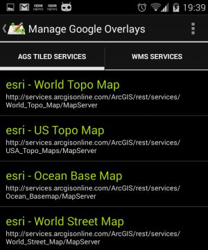
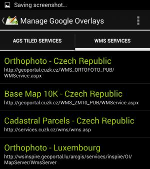
Starting from version 1.3.0 (MapPad Pro) and 3.2.0 (MapPad Demo) there is an option to add an overlay when browsing Google Maps. To activate the overlay please press the “Map” icon next to the “Base Maps” drop down list.
The overlays are WMS or ArcGIS Server Tiled map services. There are several pre-configured maps which can be added straight to the map view:
Please see the pictures below to get an idea how the overlays look like:
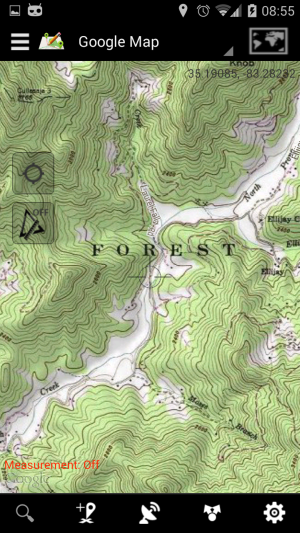
Esri – US Topographic Map
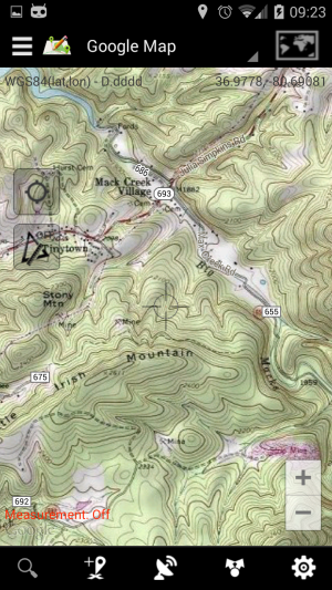
Esri – US Topographic Map
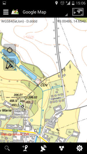
WMS – Czech Republic – Topographic map
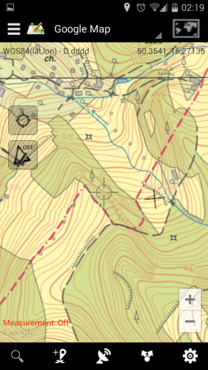
WMS – Czech Republic – Topographic map
ArcGIS Server Tiled services are supported, however to get the service working as a Google Maps overlay you need to check few things before you add the URL to MapPad. The best way is to compare your service with ESRI online sample: http://services.arcgisonline.com/ArcGIS/rest/services/USA_Topo_Maps/MapServer.
The information shown on the picture below is the important bit you need to check on any other service you want to add:
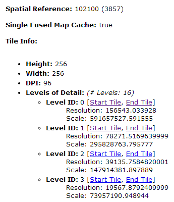
ArcGIS Server Tiled service – Important factors.
You need to check 2 important factors:
1. Service spatial reference has to be Web Mercator ESPG:3857
2. Service must be cached and have to has the tiles levels compatible with Google Maps.
When the above condition are met you can add custom service to MapPad providing name and REST service URL:
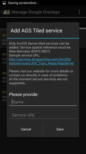
Add ArcGIS Server Tiled map service.
Added and pre-configured services can be removed. Pre-configured services can be restored at any point using context menu in top-right corner of the “Manage overlays” activity.
In the most recent version of MapPad Pro there is an option to add as well custom WMS service. Newest version of the app is also having ability to set the transparency for Google Maps overlays, which is allowing you to have custom thematic content on the top of standard Google base-maps.


