Below you can find samples of WMS and ArcGIS Server Tiled services you can use with MapPad as Google Maps overlays. Feel free to add your recommendations in the comments, or contact me directly to get the article text updated and sample pictures added.
All WMS and AGS Services listed below has been tested and are fully compatible with MapPad and the service URL’s are open to public, however some of them may be used only under defined terms & conditions, so before you use them for your purposes please do check the access constrains (for WMS services you can check that pressing the ‘info’ button during WMS configuration).
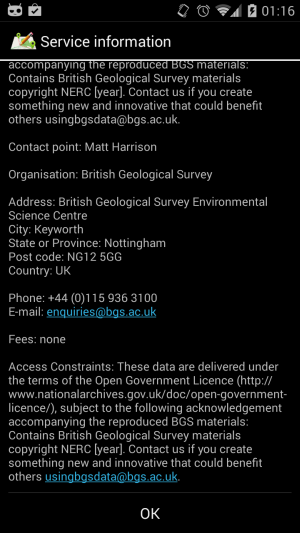
WMS Fees and Access Constraints information.
This list will be extended in the future…
There are also some directories you can use to search for WMS services available in your area. The good I can recommend are:
Spatineo Directory: http://www.spatineo.com
The database currently contains more than 20000 spatial web services with 300000+ layers around the world,
most of them freely available. For each service there is
also basic availability info included on each directory service page.
If you are looking for the WMS services and spatial data in Europe INSPIRE geoportal is also good for that: http://inspire-geoportal.ec.europa.eu/discovery .
There is no guarantee that all services are compatible with MapPad as some of them are using local or national coordinate systems which are not compatible with Web Mercator projection.
However as long as you can see support for CRS:84, EPSG:4326 or EPSG:3857 in the capabilities file there is great chance that the service will be displayed in MapPad as expected.
To add the service in MapPad just copy and paste the URL’s provided below – when getting URL’s from other services please do not include any URL parameters e.g.
URL to get Capability File: http://geoportal.cuzk.cz/WMS_ZM10_PUB/WMService.aspx?VERSION=1.3.0&REQUEST=GetCapabilities&SERVICE=WMS
To MapPad you have to paste only http://geoportal.cuzk.cz/WMS_ZM10_PUB/WMService.aspx
Also if you find a services working with MapPad and you think they might be useful for other people, please share that as a comment to this article…
WMS Services:
| Name and URL | Picture |
|---|---|
| Cadastral Parcels – Czech Republic http://services.cuzk.cz/wms/wms.asp [Get Capabilities] |
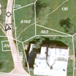 |
| Cadastral Parcels – Poland http://mapy.geoportal.gov.pl/wss/service/INSPIRE_CP/guest [Get Capabilities] |
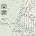 |
| Topographic Map – Norway http://wms.geonorge.no/skwms1/wms.toporaster2 [Get Capabilities] |
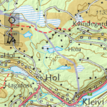 |
| Base Map 10K – Czech Republic http://geoportal.cuzk.cz/WMS_ZM10_PUB/WMService.aspx [Get Capabilities] |
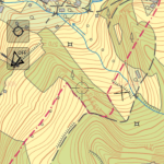 |
| Land Cover Map 2000 – 1km percentage subclass, GB http://lasigpublic.nerc-lancaster.ac.uk/arcgis/services/LandCoverMap/LCM2000GB1kmSubClassPercentage/MapServer/WMSServer [Get Capabilities] |
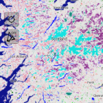 |
| Orthophoto – Luxembourg http://wsinspire.geoportal.lu/arcgis/services/inspire/OI/MapServer/WmsServer [Get Capabilities] |
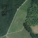 |
| Orthophoto – Czech Republic http://geoportal.cuzk.cz/WMS_ORTOFOTO_PUB/WMService.aspx [Get Capabilities] |
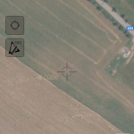 |
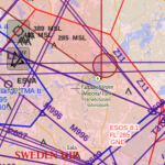
| LFV Aeronautical Information Management – Sweden http://daim.lfv.se/geoserver/mais/wms [Get Capabilities] |
 |
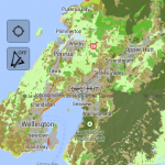
| Landcare Research NZ Land Cover Database – New Zeland http://maps.scinfo.org.nz/lcdb/wms [Get Capabilities] |
 |
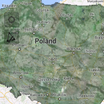
| Orthophoto – Poland http://mapy.geoportal.gov.pl/wss/service/img/guest/ORTO/MapServer/WMSServer [Get Capabilities] |
 |
ArcGIS Server Tiled Services:
| Name and URL | Picture |
|---|---|
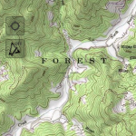
| esri – US Topographic MapService URL: http://services.arcgisonline.com/ArcGIS/rest/services/USA_Topo_Maps/MapServer |
 |
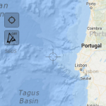
| esri – Ocean Base MapService URL: http://services.arcgisonline.com/ArcGIS/rest/services/Ocean_Basemap/MapServer |
 |
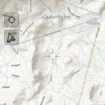
| esri – World Topo MapService URL: http://services.arcgisonline.com/ArcGIS/rest/services/World_Topo_Map/MapServer |
 |
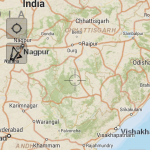
| esri – World Street MapService URL: http://services.arcgisonline.com/ArcGIS/rest/services/World_Street_Map/MapServer |
 |
Hi, I’m the CTO of Spatineo, and I’m glad you like and recommend Spatineo Directory! BTW we currently have almost 20000 services in there including many WFS and WMTS services too.